Showing posts with label Orick. Show all posts

Monday, March 22, 2010

A Day at Patricks Point


Yea, the sun is here again! There were two herds of elk along the side of the road as we left camp this morning. We had breakfast at the Palm Cafe in Orick, a place with a poplulation of 650. Before leaving town we stopped at the hardware store - more like a combination of everything. They didn't have what we wanted but we talked with the store owner a while. He was a really nice guy and told us a lot about the town. Seems there is quite a bit of marijuana grown here. When I asked if it was for medical purposes... he just laughed.

Leaving Orick we went south on Rte 101 to the tiny, picture-perfect town of Trinidad. What a cute little place. We drove through town and past storybook beach cottages with fantastic gardens. The Azaleas and Rhoddys were starting to bloom. Following the road down to the harbor we got out of the car and checked out the fishing boats. The wind was whipping across the beach and it was really cold so we hopped back in the car. Trinidad sits up on a bluff so we left the beach and drove up to the overlook to see the Trinidad Memorial Lighthouse. This is a replica of the original lighthouse and is still in use today. Unfortunately we missed the tolling of the fog bell at noon in memory of lost sailors. Next to the lighthouse is a little park which had benches so we sat and enjoyed the view and the sun.

Back in the car we drove up Rte 101 N to Patricks Point State Park. We went to the Visitor Center and got the layout of the park and then we headed down a forest path to the Sumeg Village. In the 1800's, the Yurok people had permanent village sites north and south of Patricks Point. They used the current park area as a seasonal encampment. The Yurok were a "water " people whose lives and villages were centerd around rivers and the sea. In the fall of 1990 an all-Yurok group constructed the Yurok Village of Sumeg. By building this village they wanted to preserve and carry on the traditions of their lifestyle. The Sumeg Village consists of family houses, dance pit, changing house, a redwood canoe and a sweat house. The family houses were built of redwood planks taken from fallen logs. Curved planks were placed on the roof to allow rain to drain off. The entire plank structure was lashed together using hazel saplings which they made pliable by heating them in a fire. The intense heat burst the saplings into fibers which they soaked and twisted into rope. The houses had two levels. The lower level had a fire burning pit which burned continuously for heat and the women and children slept here. The upper level had a broad ledge for storing food and the family's wealth.The houses were used for protection. The small round door kept out intruders and bears. The sizes and shape of the doors allowed women to easily defend the houses with burning sticks from the fire. Today the Yurok people and neighboring tribes use the village to teach their youth and share their history and traditions with the public.

We'll spend most of the day in the park today. We left the village and our next stop was Agate Beach. We parked and walked the short, steep trail with switchbacks that dropped us 100 feet down to the beach below. We climbed over rocks that slid off the cliff at the bottom of the trail and walked the black sand beach with cliffs at our back and pounding surf in front. We found a stream that ran down from the cliffs above, through rocks, and across the sand. This was a perfect spot to find agates. The beach is known to be a good place to hunt for the wave-polished semi-precious stones. We hunted for a while and found some nice rocks. We're not sure they are agates though.

After climbing back up the trail we drove to Wedding Rock. The trail from the parking lot led out to a bluff which flattend out looking out over the rocks and the ocean below. There were steps that led up to the huge rock which stood in front of us. Ken climbed the stairs to the top where there was a stone landing. Apparently they do wedding ceremonies on this landing with the waves crashing around them.

Next we drove through a different part of the park that wound through a beautiful forest road lined with Douglas Fir. We came out of the forest and the road followed the ridge of the cliff to Palmers Point. Parking in the overlook we had 180 degree views of the beach and coastline hundreds of feet below. This was the perfect spot for lunch sitting in the sun with a soft breeze blowing. We spent the afternoon reading and planning the Oregon and Washington leg of our trip. Later the wind got stronger and about 4:30pm we headed back to camp.

At home we relaxed with cheese, crackers and wine at camp. It's not crowded tonight. We learned today this is spring break so that's why all the college kids are around. After dinner we had a campfire. Eventually we came in, watched TV and called it a night. We are on the road again tomorrow!


Pictures: Trinidad Lighthouse, Sumeg Village Family House, Trail to Agate Beach, Agate Beach, Wedding Rock Overlook, Wedding Rock Top, Wedding Rock View, Palmer Point View

Sunday, March 21, 2010

Redwood Creek Trail


Well we had showers last night and it's foggy this morning. We headed out to hike Fern Canyon. We turned west onto Davidson Road and passed the Elk Meadow (nope no Elk...) and the road soon turned to dirt with ferns growing everywhere. We stopped at the Day Use fee gate and paid our fee. There was a note that the seasonal bridges in Fern Canyon were not available until summer. The sign said the road was open. That's ok we'll check it out so we continued. The pot holes were the size of craters and trying to go around them on this narrow road was a real test. Passing Gold Beach we made a note to come back for lunch. Up the road about 2 miles appears a sign "stream crossing ahead"... well sure enough the stream crossed the road but no bridge. Yep - Ken was sure we could make it through so after some discussion - we went (eh). A little way further down the road we came to another stream..Nope! Not going!. So we turned around. We were disappointed but we didn't want to take any changes - guess we need a 4 wheel drive vehicle.... Fern Canyon was used by Steven Spielberg for Jurassic II. It's a narrow canyon, whose 50 foot walls are carpeted with ferns and mosses.

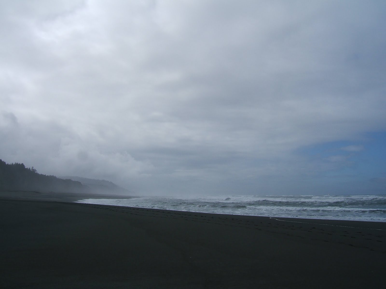
Back at Gold Beach we took our picnic bag and found a table right on the edge of the beach. The fog was still hanging along the cliffs, waves crashing against the black sand and breaks of sun and blue sky. We walked the beach and then sat at our table loving the sound of the pounding surf. There's no one here but us and it's great. After about an hour we left the beach.

We wound our way back to Rte 101. We drove through the hamlet of Orick and then drove down Bald Hills Road to the Redwood Creek Trail. We passed a stand of Alder trees and could see a herd of elk grazing in the trees. Redwood Creek is a beautiful flat trail with maples, redwoods, meadow, ferns and cascading creek. This is an 8 mile trail so we walked about a mile over little wooden bridges and past natural rock waterfalls. Many of the trees are covered with moss and this gives the forest an other worldly feeling. Along the trail we found this cute yellow Banana Slug. These are decomposers and turn dead plant materials into soil humus. As we got back to the car the clouds were getting darker and heavier.

By the time we got back to camp it was raining. Ken worked on some maintenance items and I got a new recipie ready for dinner. The campground is full again tonight. We talked with the camp hosts for a while. They are a young couple (30's), which is unusual. They are here for 6 months. I couldn't do 6 months with no services, phone, etc. It's pretty remote! We watched TV and went to bed.

Pictures: Gold Beach (2), Redwood Creek Trail (4), Banana Slug

Saturday, March 20, 2010

Redwood Prairie Creek State Park


Out of the dark and into the light as we head up Rte 101N this morning to Eureka. We'll stop and get supplies for the next three days as we will be in the woods again. People in these little towns like Weott have to drive 20 miles for the nearest gas and 42 miles to Eureka to shop. They shop once a month!

Getting closer to Eureka the landscape changes with some hills but more pastures and ocean inlets on our left. There's fog hanging over the ocean this morning as the road turns coastal. (Yipes regular gas is $3.25/gal here...). Further up the coast we get our first real view of the ocean with huge rock formations and the Coastal Mountain range in front of us in a light fog. We stopped at the pull off to admire the beach. We noticed signs along the beach warning about "sneaker waves". These are large waves that form very quickly and we were warned never to turn our back on the water! The other signs we see all along the coast warn us that we are in a Tsunami Hazard Zone. Some of the waves here come all the way from Japan.

Now we have evergreen forests on both sides and it's windier here. We pass through the hamlet of Arcata and are treated to georgeous ocean views. There are numerous state parks along the way for both day use and camping. To our right is the sign Welcome to Redwood State Park and sure enough the meadow was full of Roosevelt Elk. We will see more of these animals later so we kept going. We turned onto the Newton B Drury Parkway which is a 10 mile scenic alternative to Hwy 101. Th parkway has huge meadows on each side and warnings saying "Caution Elk Feeding Area". (No Elk...). We found Elk Prairie Campground on our left and turned in. We are really out in the woods and no communication services for the next 3 days. Our site is opposite the meadow (still no Elk...).

After getting set up we decided to go to the Big Tree Wayside. Along this nature path is a 300 plus ft. redwood which is 21 ft in diameter and it's massive. Lavender Trillium were sprinkled all along the path and we enjoyed the quiet. Leaving Big Tree we drove down the parkway to the end. This is a much more open road than Avenue of the Giants, but it still has beautiful trees. Here the forest is a mix of Sequoia, Redwoods, and Douglas Fir. Towards the end of the Parkway we saw a side road marked Coastal Rd. Of course we had to go explore! Sure enough another one of our twisty roads which soon turned to gravel with pot holes the size of New York City! The road ran along the top of the cliff above the ocean. Both sides of the road are lush with fern and evergreen trees. We stopped at several turnouts to look over the edge and enjoy the views from high up in the tree tops! One of the turnouts was at a World War II radar station. It looks like a farmhouse and barn - that was its disguise in the 1940's. The operations building housed an oscilloscope and radar technicians and the smaller barn held a power supply. The road rounded a corner and we were at the mouth of the Klamath River where it meets the ocean. We could see a line where the emerald green water of the river mixed with the blue Pacific. The road continued beside the river and through the Klamath River Valley. We passed clumps of what looked like large yellow pulpit type flowers. Eventually the road led us back to Rte 101 about 17 miles north of camp. It was a nice ride.

Back at our site we sat outside and had wine and cheese while watching the carloads of tenters arrive for their weekend in the woods. It was a great day with new discoveries (no Elk yet..,).

Pictures: 1st Ocean View on Rte 101, Sneaker Wave Warning, Big Tree Wayside, Purple Trillium, Coast Road (2), Coast Road View (2), End of Coast Road, Yellow Pulpit Flower